
Map Grabber on C#
4.63/5 (16 votes)
Prepare maps for your holidays, your walking, your bike trips, your geocaching...
- Download MapGrabber1.2.3Installer.zip - 304.6 KB
- Download MapGrabber1.2.3Binnary.zip - 73.37 KB
- Download MapGrabber1.2.3Source.zip - 435.82 KB

Introduction
Grab maps ....
Prepare maps for your holidays, your walking, your bike trips, your geocaching... Youcan next print them or use them with your GPS!
This utility automatically scrolls, captures, assembles and saves maps (or other window content) from a Web page to a JPG file.
Background
(Optional) Is there any background to this article that may be useful such as an introduction to the basic ideas presented?
Using the code
How to use?
- Go to the desired Web site, maximize your browser window.
- Locate the desired area on the map and zoom to the desired scale.
- In order to MapGrabber automatically realize the right scrolling, you have to parameter it according to the Web site.
Press
the button 1 in MapGrabber (see illustrations), next click on the
left/top corner of the map. To avoid capturing the toolbar, you can
define the corner just below it.
Press the button 2 in MapGrabber, next click on the right/bottom corner of the map.
- To devide output image by slises, set the steps in one part.
- If you would like to calibrate maps in time of grabbing, you can use GPS Callibration part of the MapGrabber
You can now Save the settings for future use; each Web site will have its own settings.
The main screen:
- Menu:
Settings - Load and save your current settings for future using.
Help - The link to this page and information about me.
- Map Settings:
The position of left/top and right/left bounds of map, without active
elements, on the screen. You can set points by enter the coordinates or
by clicking on button "Point" and dragging the ![]() icon to he's place on the screen.
icon to he's place on the screen.
- Capture Settings:
Delay
Scroll - When Map grabber moving the map in map display program
(Firefox), to program take time to response for her events. So need to
delay Map grabber events according to response of display program.
Delay Capture - When Map grabber the map in map display program
(Firefox), to load new images take some time. So you must set the
parameter according to speed image loading.
Number of X/Y Steps - How match steps to do.
- Output image settings:
Divide Image X/Y - By how match steps divide the output image. Some
programs that using output maps on pocket PC, take a lot time to load
big image.
Map Path - The output image folder.
- With GPS calibration - Enable GPS automatic GPS calibration of output map.
- Show/Hide points - show/hide the map settings and GPS calibration points.
- GPS Calibration:
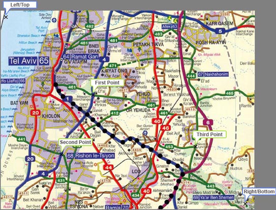
First point X/Y - The point of place that you know her GPS coordinates.
You can set points by enter the coordinates or by clicking on button
"Point" and dragging the icon to her place on the screen. You can use
the magnifier to put the icon exactly to place of GPS coordinates.
First point Lat/Lon - The GPS coordinates of point.
Magnifier/Status window:

Points:
Prior to start capturing, set the amount of horizontal and vertical steps you desire.
Press the button Start.
Know Bugs:
found by me and another users.- Memory out when grabbing more than 10X10 screens.
TODO:
what in next version.
- grab large size maps
-
The GPSTuner have auto map loading feature. We can use maps with
different resolution, and different level of information on map. That
provide option in time of zoom out or zoom in, change maps
automatically. So I want to add feature - grabbing maps with some
levels of zoom.
Links / Credits
Project Page on MSDN Code Gallery
Project Page on CodePlex
GPS Tuner - is an off-road navigation software for Pocket PC devices. The maps of Map Grabber is collibrated for this programm.
Capturing the Screen Image in C#
Processing Global Mouse and Keyboard Hooks in C#
Disclaimer
Personal use only. Use at your own risk. No technical support given. Don't copy or distribute copyrighted media.
Screen captures will never replace a bought genuine printed map.